
Capture Reality: High-Precision Aerial Photogrammetry
Transform your site understanding with comprehensive aerial photogrammetry that creates detailed maps and immersive 3D models of your project area. Our UAS technology delivers superior accuracy while covering large areas quickly, even in challenging terrain.
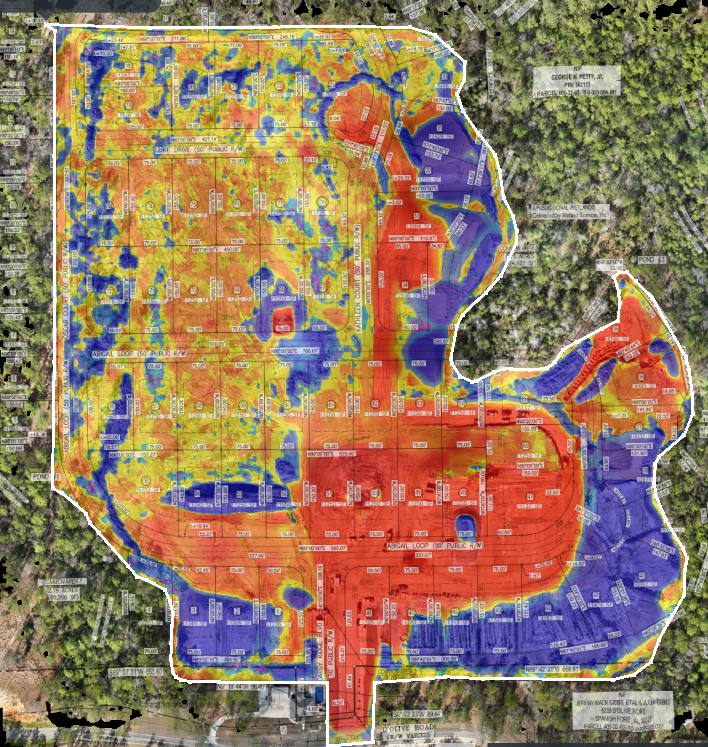
What We Do
1. Strategic Flight Planning
We design custom flight patterns based on your project requirements, ensuring complete coverage and optimal image overlap for superior reconstruction quality.
2. High-Resolution Image Capture
Our professional-grade UAS platforms capture ultra-high-resolution imagery from multiple angles, documenting every detail of your site with precision GPS coordinates.
3. Advanced Processing & Reconstruction
Using specialized software, we align thousands of images to create seamless orthomosaic maps, detailed digital elevation models, and textured 3D reconstructions of your site.
4. Multi-Format Deliverables
Receive your data in industry-standard formats compatible with CAD, GIS, and BIM software, allowing for seamless integration with your existing workflows and systems.
See Your Site in a New Dimension With Photogrammetry
Discover the clarity and precision of professional aerial photogrammetry. Contact us today to discuss your project requirements.
.png)